Home
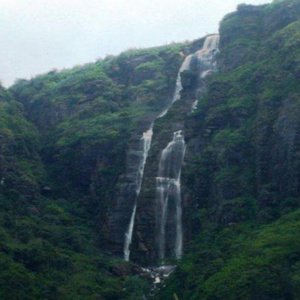
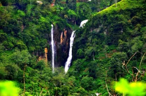
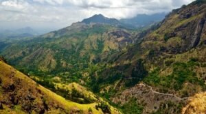
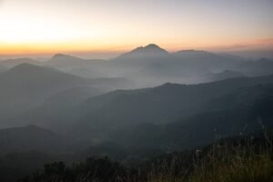
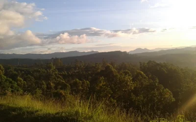
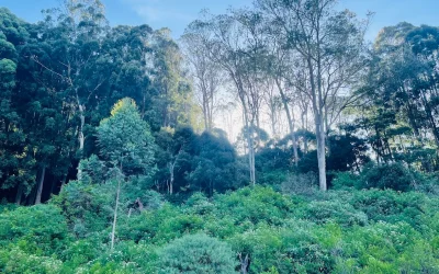
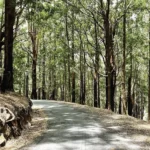
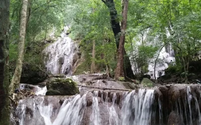
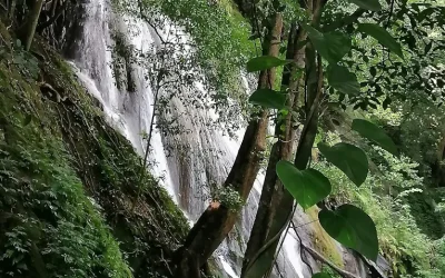
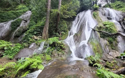
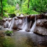
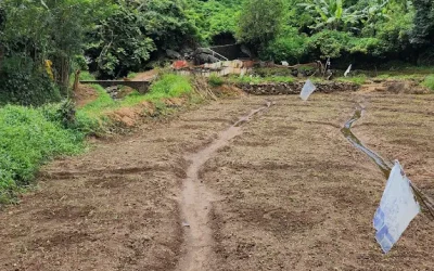
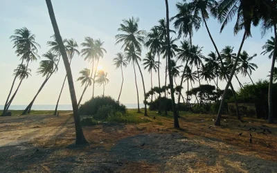
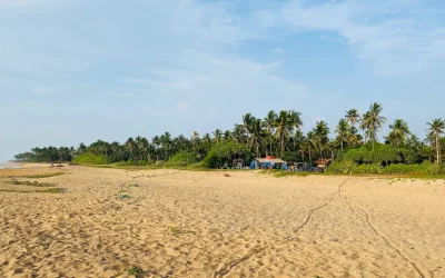
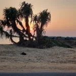
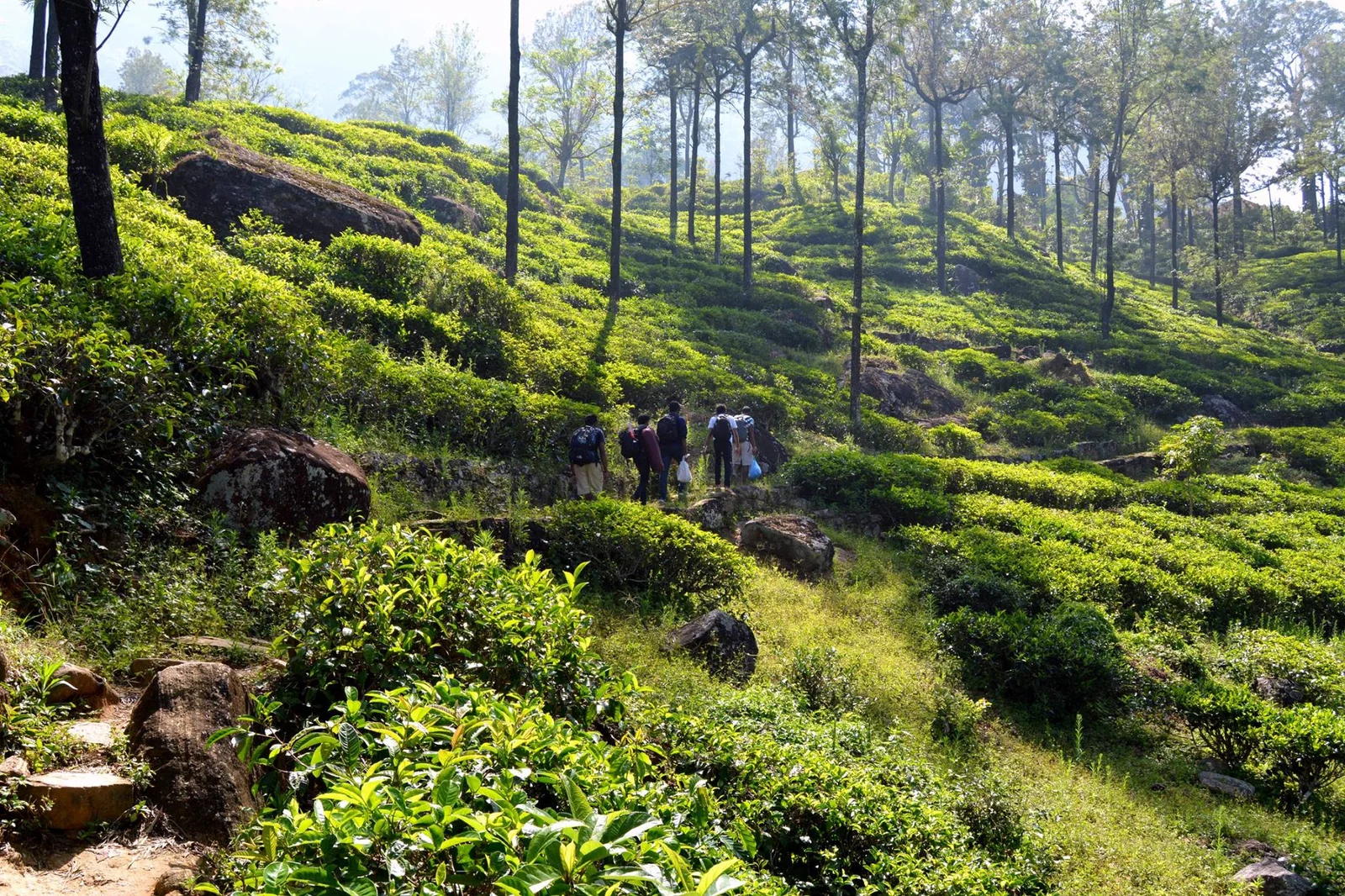
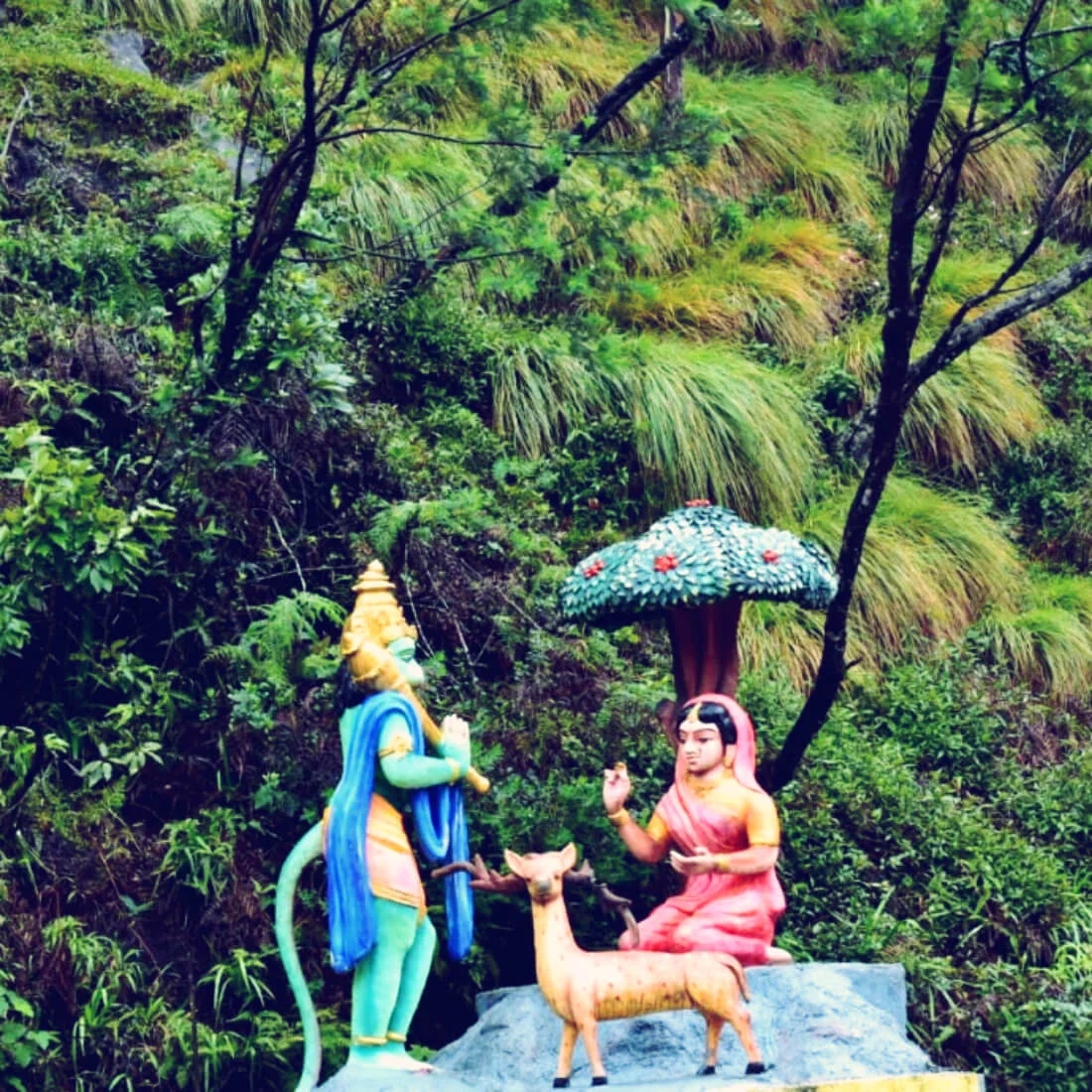
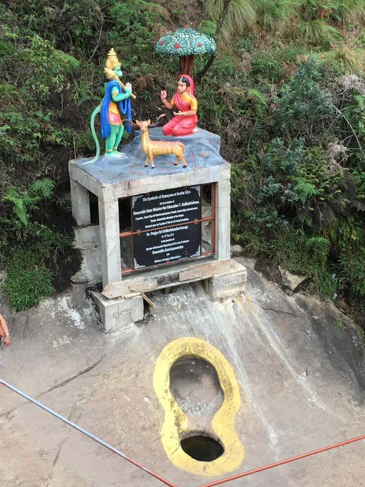
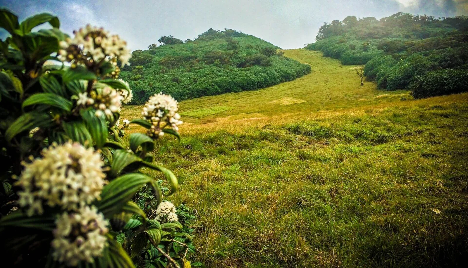
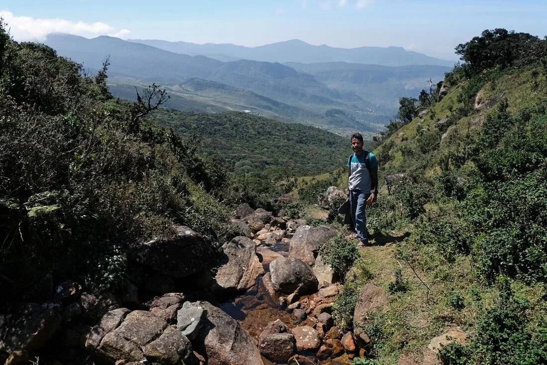
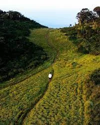
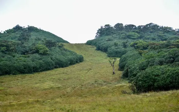
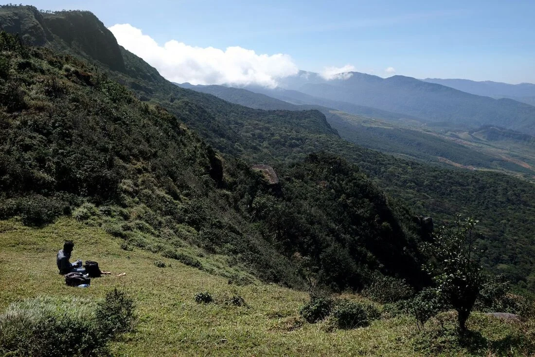
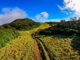
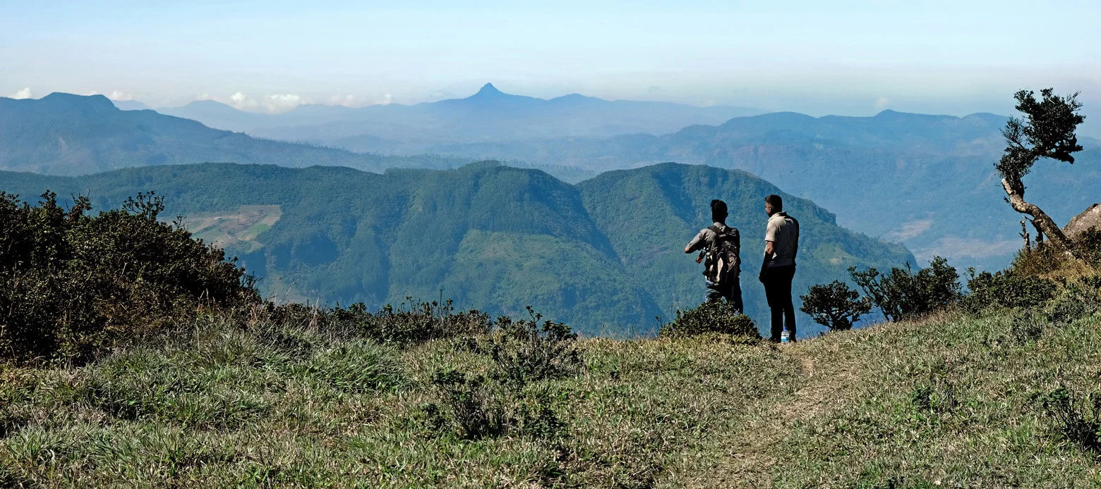
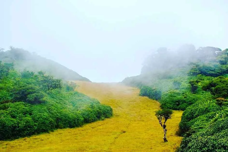
The Chariot Path is a breathtakingly beautiful grassland (plain) located on top of a mountain range in Ramboda, Sri Lanka. It sits at an altitude of about 2,000 meters above sea level. This hidden gem looks like a natural “highway” made of lush green grass, surrounded by a misty pygmy forest. According to legend, this is the path King Ravana used to show the beauty of his kingdom to Sita Devi. It offers a 360-degree view of the surrounding mountains, including the famous Great Western mountain range.
✅ Stunning Views: You get to see some of the best mountain landscapes in the country.
✅ Rich Mythology: It is a key site for those interested in the Ramayana trail.
✅ Peace and Quiet: Unlike popular tourist spots, it is very calm and far from the noise of the city.
✅ Cool Climate: The air is fresh, cold, and perfect for a refreshing hike.
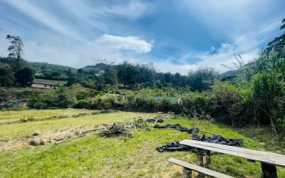
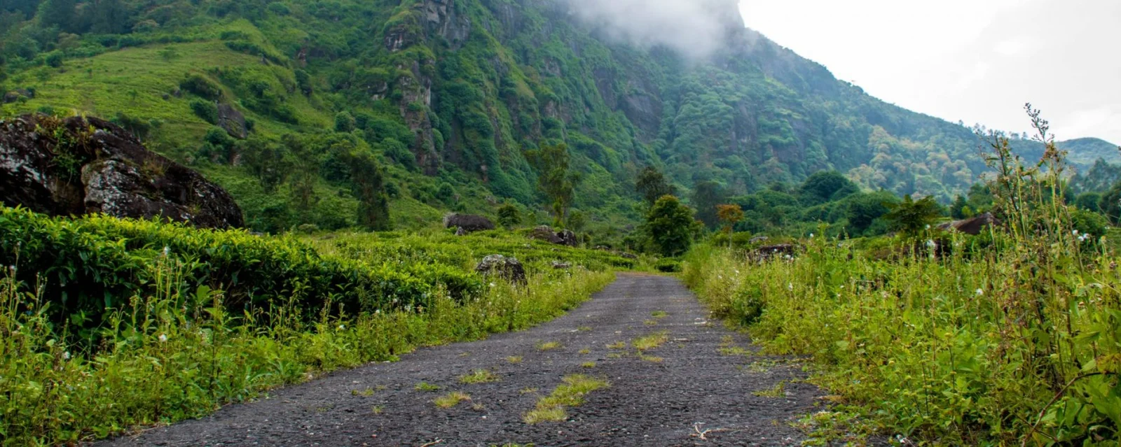
↔️ Location: Near the Frotoft Tea Estate in Ramboda.
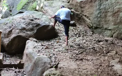
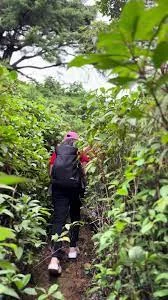
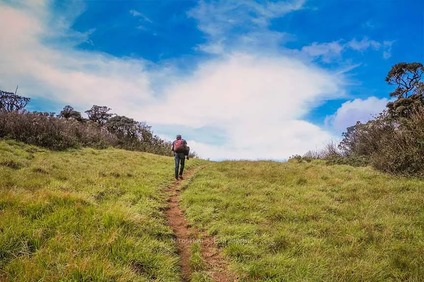
↔️ Difficulty: The hike is moderate. It takes about 2 to 3 hours to reach the top.
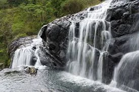
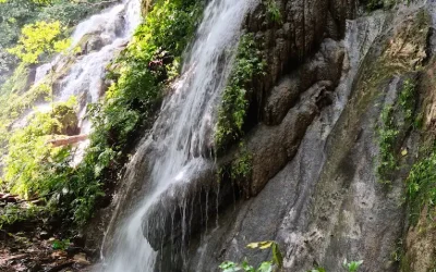
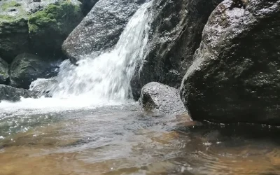
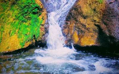
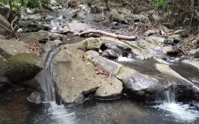
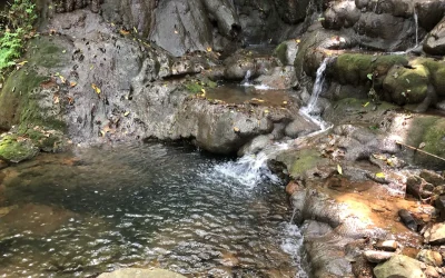
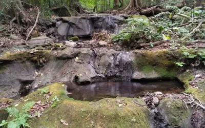
↔️ Sita Tear Pond: There is a small pond on the path that never dries up, even during droughts. Legend says it was formed by the tears of Sita Devi.
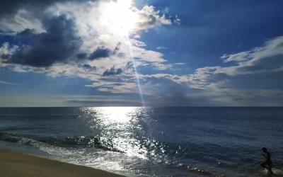
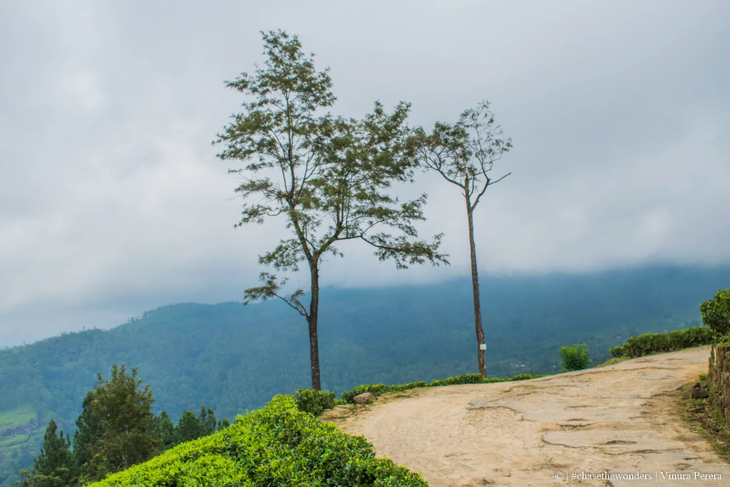
↔️ Weather: The weather can change very fast. It can be sunny one minute and completely covered in thick mist the next.
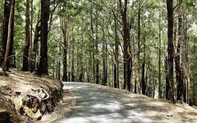
🌟 Hiking: Enjoy a scenic walk through tea estates and forests.
🌟 Camping: Spend a night under the stars (make sure to bring warm gear!).
🌟 Photography: Capture the unique “pathway” look of the grass and the rolling clouds.
🌟 Nature Watching: Look for unique birds and plants that only grow in high-altitude forests.
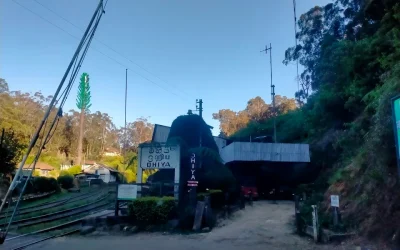
📍 Start Point: Travel to Kandy or Nuwara Eliya.
🚗 To Ramboda: Head towards the Frotoft Tea Estate.
🚗 The Trailhead: You can take a tuk-tuk or a 4WD vehicle to the edge of the estate.
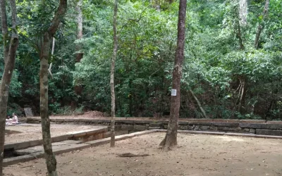
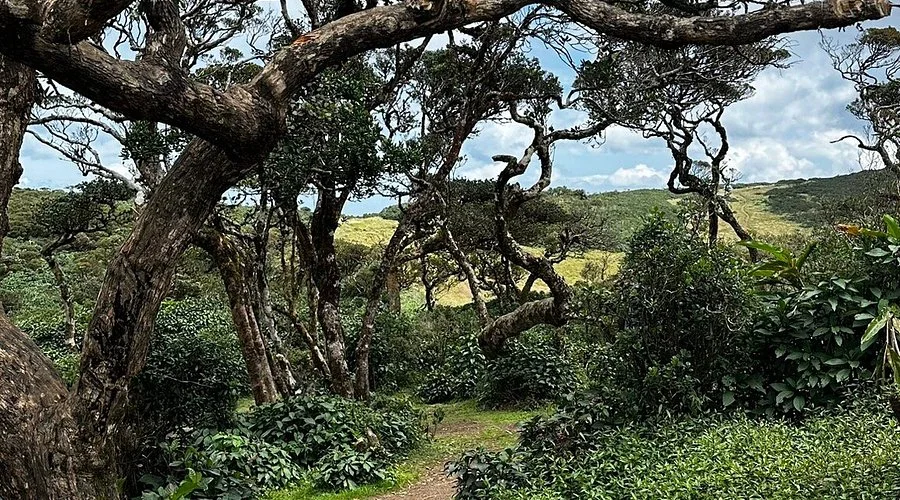
🚶 The Hike: From the end of the estate road, you must walk uphill through the forest to reach the grassland.
Visitors will feel like they have stepped into a fantasy world. The feeling of walking on a soft green carpet while clouds float past your feet is unforgettable. It provides a sense of deep connection with nature and history. At night, if you camp, the sky is incredibly clear, making it a paradise for stargazers.
⚠️ Leech Protection: There are many leeches on the trail, especially if it has rained. Wear long socks or use leech repellent.
⚠️ Bring Water: There are no shops on the mountain, so carry enough water and snacks.
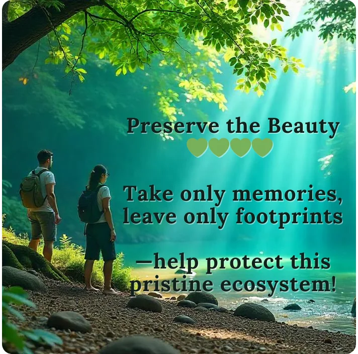
⚠️ No Littering: Please bring back everything you take. Keep this sacred site clean!
⚠️ Guide: If it is your first time, it is better to take a local guide as the path through the forest can be confusing in the mist.
⚠️ Warm Clothes: It gets very cold at night and early morning. Bring a jacket!
The Chariot Path is a magical place where nature and legend meet. Whether you are a hiker, a history lover, or just someone looking for peace, this location will leave you amazed. It is truly one of the most beautiful “hidden” spots in Sri Lanka that everyone should see at least once.
චැරියට් පාත් (Chariot Path) යනු ශ්රී ලංකාවේ රම්බොඩ ප්රදේශයේ පිහිටි අතිශය සුන්දර තැනිතලා බිමකි. මුහුදු මට්ටමේ සිට මීටර් 2,000ක් පමණ උසින් පිහිටි මෙය, කඳු මුදුනක පිහිටි ස්වභාවික “මහා මාර්ගයක්” වැනිය. රාවණා රජු සීතා දේවියට තම රාජධානියේ සුන්දරත්වය පෙන්වීමට ඇයව රැගෙන ගිය මාර්ගය මෙය බව ජනප්රවාදයේ සඳහන් වේ. වටපිටාවේ ඇති මීදුමෙන් පිරුණු වනාන්තර සහ ග්රේට් වෙස්ටර්න් කඳු පන්තියේ මනරම් දසුන් මෙහිදී ඔබට දැකගත හැකිය.
✅ නොකෙලෙසුණු සොබාදහම: ලංකාවේ දකින්න ලැබෙන ලස්සනම කඳුකර දර්ශන මෙහි ඇත.
✅ රාමායණ පුරාවෘත්තය: ඓතිහාසික හා මිථ්යා කතා ගැන උනන්දු අයට මෙය ඉතා වටිනා ස්ථානයකි.
✅ නිදහස් පරිසරය: නගරයේ සෝඝෝෂාවෙන් බැහැරව ඉතා සාමකාමීව කාලය ගත කළ හැකිය.
✅ සීතල දේශගුණය: ගතට මෙන්ම සිතටද සහනයක් දෙන සිසිල් මඳ පවනක් නිරන්තරයෙන් දැනේ.
↔️ පිහිටීම: රම්බොඩ, ෆ්රොටොෆ්ට් (Frotoft) තේ වතුයාය අසල.
↔️ දුෂ්කරතාවය: මධ්යම ප්රමාණයේ දුෂ්කර ගමනකි. කන්ද මුදුනට යාමට පැය 2ත් 3ත් අතර කාලයක් ගතවේ.
↔️ සීතා කඳුළු පොකුණ: මෙහි කිසිදා නොසිඳෙන කුඩා පොකුණක් ඇත. එය සීතා දේවියගේ කඳුළින් නිර්මාණය වූ බව පැවසේ.
↔️ කාලගුණය: මෙහි කාලගුණය ක්ෂණිකව වෙනස් වේ. තද අව්ව තිබී එකවරම මීදුමෙන් වැසී යාමට ඉඩ ඇත.
🌟 කඳු නැගීම (Hiking): තේ වතු සහ ලස්සන වනාන්තර මැදින් ඇවිදීමේ අත්දැකීම.
🌟 කඳවුරු බැඳීම (Camping): තරු පිරුණු අහස යට රැයක් ගත කිරීම (හොඳින් ලෑස්ති වී යා යුතුය).
🌟 ඡායාරූපකරණය: අපූරු පසුබිම් දර්ශන කැමරාගත කිරීම.
🌟 සොබාදහම නැරඹීම: කඳුකරයට පමණක් ආවේණික කුරුල්ලන් සහ ශාක වර්ග අධ්යයනය කිරීම.
📍 ගමන ආරම්භය: මුලින්ම මහනුවර හෝ නුවරඑළියට පැමිණෙන්න.
🚗 රම්බොඩට: එතැන් සිට ෆ්රොටොෆ්ට් (Frotoft) තේ වතුයාය දෙසට යා යුතුය.
🚗 ගමනේ මුල් කොටස: වතුයාය කෙළවරට යාමට ත්රිරෝද රථයක් හෝ 4WD වාහනයක් භාවිතා කළ හැකිය.
🚶 පාගමන: වතුයාය කෙළවරේ සිට කන්ද මුදුනට වනාන්තරය මැදින් පයින් යා යුතුය.
මෙහි යන ඔබට දැනෙන්නේ වෙනත් ලෝකයකට ගියාක් වැනි හැඟීමකි. පාද යටින් ගලා යන වලාකුළු සහ කොළ පැහැති තණ පලසක් මත ඇවිද යාම කිසිදා අමතක නොවන අත්දැකීමක් වනු ඇත. රාත්රී කාලයේදී කඳවුරු බඳින්නේ නම්, ඉතාමත් පැහැදිලි අහසක් දැකීමට ඔබට වාසනාව ලැබෙනු ඇත.
⚠️ කූඩැල්ලන්ගෙන් ආරක්ෂා වන්න: වැසි දිනවලදී කූඩැල්ලන් බහුලයි. ඒ නිසා ආරක්ෂිත ක්රම භාවිතා කරන්න.
⚠️ ජලය සහ ආහාර: කන්ද මුදුනේ කඩවල් නොමැති නිසා අවශ්ය ජලය සහ කෑම වර්ග රැගෙන යන්න.
⚠️ පරිසරය සුරකින්න: ඔබ රැගෙන යන ප්ලාස්ටික් සහ අනෙකුත් අපද්රව්ය නැවත රැගෙන එන්න.
⚠️ මග පෙන්වන්නෙකු: මීදුම පවතින විට මග සොයා ගැනීම අපහසු බැවින් ප්රදේශය දන්නා අයෙකු සමඟ යාම වඩාත් සුදුසුයි.
⚠️ උණුසුම් ඇඳුම්: උදෑසන සහ රාත්රී කාලයේදී දැඩි සීතලක් පවතින බැවින් ජැකට් එකක් අමතක නොකරන්න.
චැරියට් පාත් යනු සොබාදහමත් ඉතිහාසයත් එකට හමු වූ අපූරු තැනකි. ඔබ කඳු නැගීමට කැමති අයෙකු වුවත්, සාමකාමී පරිසරයක් සොයන්නෙකු වුවත්, මෙම ස්ථානය ඔබට ජීවිතයට අමතක නොවන අත්දැකීමක් ලබා දෙනු ඇත. ශ්රී ලංකාවේ සැඟවුණු සුන්දරත්වය දැකීමට කැමති ඕනෑම අයෙකු යා යුතුම තැනකි.


There are no results matching your search
“Please note: Distance calculations may slightly differ from the actual distance. Kindly confirm the route before you begin your journey.”

233 Places Hosted
Charith Kusalitha

There are no results matching your search
“Please note: Distance calculations may slightly differ from the actual distance. Kindly confirm the route before you begin your journey.”
“All the credits for Videos, Images & contents goes to respective owners.”
The content on this website, including images and videos, is sourced from various third parties. We do not claim ownership unless stated. If you believe your rights are violated, please contact us at dayoutbook@gmail.com. You can also click on the above “Claim” button to submit a ticket and briefly mention your details and concerns for immediate action. We will promptly credit, modify, or remove the content as necessary.
Use of this website is at your own discretion and risk


There are no results matching your search

The content on this website, including images and videos, is sourced from various third parties. We do not claim ownership unless stated. If you believe your rights are violated, please contact us at dayoutbook@gmail.com. We will promptly credit, modify, or remove the content as necessary. Use of this website is at your own discretion and risk.
See full Disclaimer for more info
© 2025 – All Rights Reserved. Made by Dayoutbook Team
